Best Fall Foliage Hikes in Charlottesville
Western Virginia’s fall foliage is second to none. Here’s where to see it.
With iconic national parks like Arches and Canyonlands right outside city limits, Moab attracts visitors from all over the world. But there’s no need to join the crowds at these hot spots. The vast public lands surrounding this small town mean there’s way more to do.
Located at 4,026 feet in Utah’s high desert, Moab is surrounded by thousands of miles of Bureau of Land Management (BLM) land just waiting to be explored by foot, bike, or watercraft. Here you’ll find singletrack weaving among sheer canyons, sandstone spires, and red rock buttes, and enough adventure for a lifetime of exploring.
No matter where you go, keep an eye out for Native American petroglyphs and artifacts but be careful not to touch: Many of these lands are sacred to the people who have called the Moab area home long before white settlers ever arrived. The cultural history makes every visit to this land more meaningful—and makes it a destination unlike any other. Use this guide to start planning.
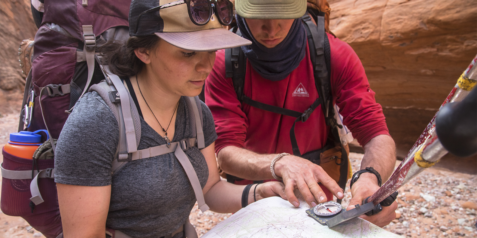
Sure, Arches and Canyonlands National Parks are rife with great hikes. But so is the ample public land around Moab. Here are a few classic day hikes away from the national park crowds.
Now designated a National Recreation Trail, this relatively straightforward, 3-mile round-trip trail leads across sand and slickrock to the 140-foot-wide Corona Arch and smaller Bow Tie Arch. The trek also offers mesmerizing views of the Colorado River and side canyons. Get there by heading 10 miles west on Highway 279 at the U.S. 191 junction just north of town.
This 4.4-mile round-trip hike serves up views of Fisher Towers, spindly monoliths composed of Moenkopi and Cutler sandstones. From the parking lot, the trail goes down a short set of steps and then onto a slickrock ridge. Narrowing, it then leads into a ravine before winding directly beneath towers, including the 700-foot Titan Tower. The hike ends on a ridge with a great view of Onion Creek and Castle Valley. To get there, head 21 miles up UT 128 and then turn right for 2.2 miles on a dirt road to reach the parking lot.
The National Recreation Trail running through Grandstaff Canyon provides a family-friendly, 5.7-mile round-trip hike to the 243-foot-long Morning Glory Natural Bridge—the sixth-longest natural rock arch in the country. With a year-round stream (and several crossings) in a scenic slickrock canyon, it’s one of the best and most accessible trails in the Moab area. Following the left side of the stream, you’ll find the Natural Bridge at the end of the second side canyon on the right (follow the right fork, cross the stream, and ascend a steep slope). Note: Watch out for poison ivy around the pool at the base. To get there, drive up UT 128 for 3 miles. The trailhead will be on your right.
Moab is synonymous with mountain biking, with hundreds of miles of trails for riders of all ability levels. You’ll find everything from all-day, hire-a-shuttle options like The Whole Enchilada and Mag 7, to shorter, more accessible options like the Bar M, Klondike, and Sovereign trail systems along US 191. Check in with local bike shops for shuttle services.
Varying terrain and new trails make Navajo Rocks one of the top riding zones in Moab. Ride portions or cobble together a 17.5-mile, 1,345-vertical-foot loop linking together such flowy spurs as Rocky Tops and Coney Island into Big Lonely and Big Mesa. Take the final slickrock cruise of Ramblin back to your car. The ride has everything from sand and slickrock to dirt trails, letting you bail out at several junctions if you’re not feeling the whole thing. To get there, turn west off US 191 onto Highway 313. Drive 5.25 miles to reach the lower terminus of the Ramblin trailhead on your right (look for it just after the overlook), or head up another 1.2 miles to a pullout marking the top of the trail.
This riding area is one of Moab’s most family-friendly options. Smooth, flowy trails (with minimal climbing) lead to incredible canyon views. The trail system starts just north of the park’s visitor center. You can also start at the new bike parking area, which includes a rental outlet and tool station. After your ride, head to the Dead Horse Point landmark itself, a peninsula of rock connected to the mesa by a 30-foot passage. To get to the riding, turn west off US 191 on Highway 313 for 14 miles and turn left toward Dead Horse Point State Park. Four miles later, pay the park entry fee at the gatehouse and drive another two miles to the visitor center.
This is the trail that put Moab on the mountain biking map. The whole thing, marked by painted white dashes, weaves across Moab’s famous slickrock stone. The trail is punchy and tiring, and guaranteed to have you in granny gear (or walking) at least some of the time. Allow about 4 hours to complete the 12-mile loop, and carry lots of water as there’s little shade. You’ll see others—this trail is popular—but the experience is worth it.
Not sure if you’re up to the challenge? Try the 2.3-mile Practice Loop, which branches off to the right just after the start of the trail, to get a feel for what you’re in for. The Sand Flats Recreation Area is located just east Moab, on Sand Flats Road. (From downtown, head east off US 191 on 100 North and then turn right onto 400 East. Go 1.5 miles and turn left onto Millcreek Drive. Proceed for one mile to Sand Flats Road, and then continue another mile to the entrance/fee booth.) The Slickrock National Recreation Trail parking lot is just beyond the entrance station on the left.
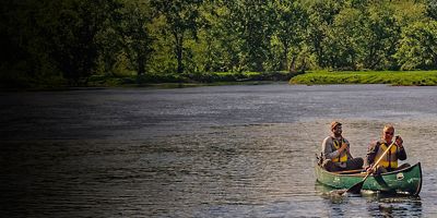
You’ll find some of the country’s best float trips on the rivers near Moab. Hit the water in summer, when swimming conditions are best, or go in the spring or fall for moderate weather. Here are a few options for paddling adventures.
Float this Class I-III section of the Colorado River on a raft, inflatable kayak, or paddleboard. With no permit needed and six rapids—separated by smaller riffles and long stretches of flat water—the 14-mile “Daily” section is Utah’s most popular river trip.
If you’re not an experienced paddler, Moab offers plenty of guided options: Search online for local outfitters and hire a guide for half- or full-day trips. You can also make this same section an overnighter, camping beneath the desert stars on a riverside beach.
To get there, head up US 191 for 9.9 miles to the well-signed Take Out Beach parking area on the left. Continue an additional 12.5 miles to the signed Hittle Bottom put-in and campground. Other put-ins and take-outs exist for a shorter float.
For a longer trip, try a flatwater float down the Canyonlands portions of the Colorado or Green Rivers. Either canoes or rafts will work for the mellow water here, but be sure to hire a guide if you’re new to paddling. You can also hire an outfitter to brave the Class III-V rapids of Cataract Canyon, which comes just after the rivers’ confluence.
From the splitter parallel cracks of Indian Creek to the spires of the Fisher Towers area, Moab is surrounded by world-class climbing. But you don’t have to be a world-class climber to enjoy the rock. There are plenty of crags closer to town suitable for intermediates and beginners. Just be mindful that these places get busy during shoulder-season weekends—climb responsibly and come ready to share the wall.
This area features Navajo sandstone with zero approach and easy access from Moab. With over a hundred routes from 5.4 to 5.12, including mixed sport and trad, it gets morning to midday sun, making it great for shoulder season and winter sessions. Favorites include the well-bolted Schoolroom Slab. This wall features five routes perfect for beginners (including kids) ranging from 5.2 to 5.7. You’ll also find the classic 30 Seconds Over Potash (5.8). To get there, drive north out of Moab on US 191 and turn left onto Potash Road. The climbing areas start in 4.2 miles, at the parking sign.
This close-to-town zone features Wingate sandstone with several bolted slab and crack routes ranging in difficulty from 5.5 sport to 5.12 trad. Most routes are single-pitch with anchors, though there are also a handful of multi-pitch routes here. In warm weather, the west-facing cliff is great in the morning when it’s shaded from the sun. To get there from Main Street, head west on Kane Creek Boulevard near McDonald's for 3.6 miles into Kane Creek Canyon. (Navigation note: A potable natural spring is located at 2.2 miles, so check your mileage there.) After crossing a dry creek bed, the road turns left to some parking. You can also drive another 100 yards and park on the road.
Need to cool off? There are several options.
1. The Colorado River along UT 128 is lined with several beaches perfect for a quick dip (just stay out of the current).
2. The 82-acre Ken’s Lake Recreation Area, south of town, offers swimming, canoeing and kayaking.
3. Mill Creek Falls is a local favorite. Hike up a slickrock-lined creek for half a mile to reach a plunge pool and waterfall. There are also several smaller pools along the way. To get there from downtown, head east on Mill Creek Drive and turn right on Powerhouse Lane; continue to the parking lot at the road's end.
Got kids eager to burn off some energy after a long drive? Just before you get into town (going south on US 191 from I-70) keep your eyes peeled. On the right, just past the entrance for Arches National Park, you’ll spot a sloping sand dune just off the highway. It’s not marked, but it offers a great place for your kids (and you) to climb up the dunes and somersault back down. Just remember to empty your pockets out before getting back in your car.
For replenishing carbs after a long day outside, there’s no better place than Milt’s. You’ll pass this classic institution on your way back from the Slickrock Trail and Sand Flats camping area. Milt’s serves up a mean cheeseburger and the best milkshakes and fries in town. For a post-hike brew, hit The Moab Brewery.
The public lands around Moab are very fragile. Recreate responsibly to respect, protect, and preserve this incredible landscape for future generations. While you’re there, follow these basic rules:
Visit the Moab Information Center at the corner of Main and Center Street. This is also a great spot to buy guidebooks, maps, videos, postcards, and more.
All articles are for general informational purposes. Each individual’s needs, preferences, goals and abilities may vary. Be sure to obtain all appropriate training, expert supervision and/or medical advice before engaging in strenuous or potentially hazardous activity.