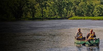
5 Top National Parks for Fishing
These five parks are best viewed from the water’s edge.
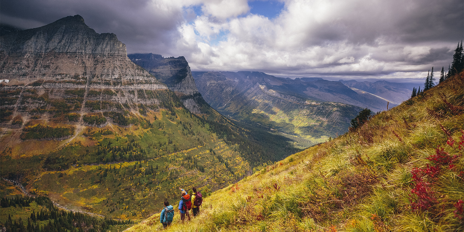
Nationwide, there are a slew of classic thru-hikes (we’re defining these at 50 miles minimum) that you can do with anywhere from a few days to a few weeks of time off. A more-doable length makes them ideal for, well, most people with jobs, families, or limited budgets. These are the best long-distance thru-hikes that anyone can put on their bucket list.
See some of the best scenery of the Sierra Nevada on the JMT. This 215-miler is typically completed in just a couple weeks but plucks out some of the best parts of the Pacific Crest Trail on a (comparatively) bite-sized trek. Starting in Yosemite National Park, it slices south through Sierra Nevada granite to the top of Mount Whitney, the tallest peak in the lower 48 (at 14,505 feet of elevation). Along the way, it hugs the High Sierra and tours alpine lakes and meadows with views galore. The JMT also has a lot of the thru-hiker culture that you’ll find on some of the bigger-name trails.
Insider Tip: Be sure to stop at Muir Trail Ranch near Lakeshore to hang out with other hikers and raid their Hiker Box. And just because you won’t need to spend months to do it, doesn’t mean this one is for beginners: It crosses one of the most rugged mountain ranges in the country, so come prepared.
More Info: pcta.org
Designed around the northern New York railroad towns of Northville and Lake Placid (originally allowing hikers to take advantage of the trains to get home when cars were far from ubiquitous), the NPT bisects a major part of the Adirondack Park along its 135 miles. Most hikers will head south to north (starting about an hour north of Albany) and spend 10 days to two weeks as it winds through deep forest, alongside countless beaver-choked lakes, past rumbling waterfalls, and over forested ridges through the heart of the ’Daks. The entire thing can also be done without a tent thanks to the proliferation of lean-tos scattered along the entirety of the route.
Secret Spot: One of the best places to camp is Carry Lean-to, just south of the Cedar River Flow—views from the riverside shelter look north to the Flow. A collection of communities adjacent to the trail make resupplies easy (try Casey’s General Store in Piseco), but you’ll quickly depart these quintessential Adirondack towns to disappear into deep wilderness. Don’t be surprised if you don’t see anyone for days.
More Info: nptrail.org
Following a web of railroad beds, the Great Allegheny Passage has made use of the remnants of 19th-century industrialization to create a unique 152-hike thru-hike from Pittsburgh in western Pennsylvania, to Cumberland, just across the border in western Maryland. Deep valleys, wooded mountains (including the Eastern Continental Divide), rolling rivers, old railroad towns, and plenty of history dot the beginner-friendly path.
Added Challenge: Interested in giving bikepacking a try? The GAP is all crushed rock, making it a welcoming surface for a multi-day, bike-based journey. Easy walking and a gentle grade make it ideal for less-experienced hikers, families, cyclists, and section-hikers (that is, people who hike an entire trail in pieces, rather than all in one trip). Several campgrounds and in-town lodging options along the route make overnight stops easy, plus take care of any shuttling when you're finished—just hop back on the train and return to your launch point. Is 152 miles not enough? At Cumberland, pick up the Chesapeake & Ohio Canal Towpath and keep going another 192 miles to Washington, D.C.
More Info: gaptrail.org
The Benton MacKaye is like the Appalachian Trail lite, but not too lite. At only about 300 miles (it takes most hikers a little under a month to complete), it’s quite a bit shorter, but often more rugged, less traveled, and even slightly more difficult than the same distance of the AT.
Fun Fact: The trail’s namesake, Benton MacKaye, birthed the idea for the Appalachian Trail in 1921. Traveling from Springer Mountain, Ga., to Big Creek in Great Smoky Mountains National Park (where permits are required for camping), the trail passes through some of the most remote parts of the Appalachians, including a slew of wilderness areas, as it weaves through forested peaks, along pristine lakes, over small river crossings (there’s plenty of water along this trail) as well as giant suspension bridges spanning some of the larger rivers.
More Info: bmta.org
Mount Rainier is too beautiful of a mountain (technically an active volcano) to only see from one side. But to experience it all and fully encircle the iconic glaciated peak, you’ll need to spend roughly two weeks hiking the 93-mile Wonderland Trail. Permits can be hard to secure.
Pro Tip: Where possible, try camping in one of the park’s cross-country zones. You won’t have established campsites, but you’ll be alone and have an easier time snagging a permit. The elevation gain across the entire trail is roughly 22,000 feet, and resupply options are limited (without outside assistance), but the hike is regarded as one of the most beautiful in the Cascades. You’ll become intimately familiar with every aspect of Mount Rainier National Park—bagging an epic multi-day hike that you can complete without begging for more time off.
More Info: nps.gov
While only requiring a short week’s hiking effort at 62 miles long, the Toiyabe Crest Trail is one of the most remote and difficult routes on this list. About 3.5 hours east of Reno-Tahoe International Airport, the primitive trail traverses a rugged north-south mountain spine of the Toiyabe Range surrounded by desert. Part of Nevada’s basin and range geography, the high-elevation wilderness trail (mostly all above 8,000 feet) rides the windswept ridgeline, then meanders between aspen groves and sagebrush, through marshes and meadows, and all with minimal trail maintenance that makes it easy to lose the route—make sure you know how to navigate on your own, if need be. And speaking of your plan: Spend a lot of time looking for water. It’s inconsistent at best on the route, so be prepared to carry what you need.
Best Time of Year: June and July avoid the rainy season, but give you the best shot at finding some water along the way.
More Info: nrtdatabase.org
All articles are for general informational purposes. Each individual’s needs, preferences, goals and abilities may vary. Be sure to obtain all appropriate training, expert supervision and/or medical advice before engaging in strenuous or potentially hazardous activity.