5 Top National Parks for Fishing
These five parks are best viewed from the water’s edge.
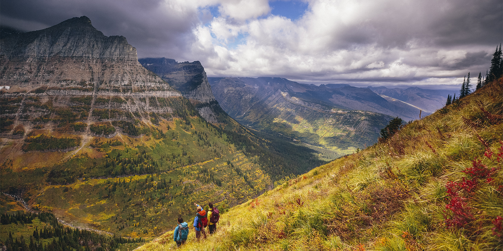
When Congress passed the National Trails System Act of 1968, its goal was to create a nationwide system of trails for people of all ages, interests, and physical abilities. The idea, as Secretary of the Interior Stewart Udall wrote at the time, was to give citizens opportunities to discover history, find solitude, and experience “nature’s secret beauties.” For most people, that meant heading out onto a land-based trail. But there’s another type of trail in the National Trails System that revolves not around land, but water.
The National Water Trails System is a network of water trails established in 2012 as a subset of the original 1968 program. Since launching nearly a decade ago, the water trail system has become a catalyst for protecting and restoring America’s waterways while also attracting new visitors to these areas. The first trail in the system was Georgia’s Chattahoochee River National Water Trail, which flows 48 miles through the Chattahoochee River National Recreation Area, and other trails have followed since, including the Great Miami River Trail in western Ohio.
“We’ve celebrated that designation and used it to help promote our rivers as some of the best in the country for paddling, fishing, surfing, and rowing,” says Sarah Hippensteel Hall, manager of watershed partnerships for the Miami Conservancy District, which oversees the Great Miami River Trail. “Since being designated as a National Water Trail in 2017, we’ve seen exponential growth in the use of our rivers.”
There are currently 33 water trails in the National Water Trails database stretching from Alabama to Oregon. But it’s not easy getting on the esteemed list. According to the National Park Service, potential water trails have to meet a long list of qualifications, including demonstrated community support, established public access points, plus access to a variety of recreation and education opportunities.
For visitors, that means water trails are excellent places to explore history, escape city crowds, and experience natural beauty—just like Secretary Udall intended. Want to get out on the water? Here are some top National Water Trails to explore around the country.
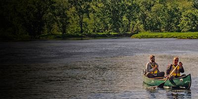
Chattahoochee River National Water Trail
Trail length: 48 miles
Location: Georgia
The first trail in the National Water Trail System, Georgia’s Chattahoochee River National Water Trail flows 48 miles within the Chattahoochee River National Recreation Area outside Atlanta. Perfect for canoeing, kayaking, and trout fishing as well as land-based activities, it includes 48 miles of river, 70 miles of hiking trails, and 18 developed access areas.
Mississippi National River and Recreation Area Water Trail
Trail length: 76 miles
Location: Minnesota
The Mississippi River Water Trail protects one of North America's most iconic rivers. Encompassing 72 miles of the upper Mississippi and 4 miles of the adjoining Minnesota River, it offers nationally significant historic sites, gorgeous views of forests and tallgrass prairie, and excellent recreation paddling opportunities for launching multi-day tours.
Trail length: 631 miles
Location: Alabama
For a true adventure in the Deep South, paddle the Alabama Scenic River Trail, which passes through much of the state from northeast, along the Coosa River, southwest all the way to Mobile Bay. Designed to protect natural resources and bring sustainable development to the Heart of Dixie, the trail takes canoeists and kayakers through an array of terrain, from tumbling mountains to serene lakes to the second-largest river delta in the lower 48.
Trail length: 217 miles
Location: Oregon
Offering a true, water-based taste of Oregon, the 217-mile Willamette River Water Trail flows through forests, meadows, parks, farms and cities large and small from the Willamette headwaters in the Beaver State’s Cascade and Coast ranges all the way to Portland and its confluence with the mighty Columbia River. Ideal for rafters, canoeists and touring kayakers, the trail lets you camp or even stay at quaint bed & breakfasts along the way, where you can restock on Tillamook cheese (not to mention refreshments from the trail’s adjacent breweries and wineries).
Trail length: 30 miles
Location: Arizona and Nevada
Following the Colorado River through the rugged Black Canyon for 30 miles, this trail features a stunning river section along the Nevada-Arizona border, less than an hour from Las Vegas but world’s away. Located within Lake Mead National Recreation Area (starting below the Hoover Dam), the trip is perfect for canoes or rec kayaks, with hot springs, side canyon hikes, and great riverside camping sites. The trail ends at the historic gold and silver mining area of Eldorado Canyon on Lake Mohave. Hint: The Willow Beach river access outpost 12 miles in offers rental craft for those who want to start there.
All articles are for general informational purposes. Each individual’s needs, preferences, goals and abilities may vary. Be sure to obtain all appropriate training, expert supervision and/or medical advice before engaging in strenuous or potentially hazardous activity.