All Pittsburgh-area backpackers should put the Laurel Highlands Hiking Trail (LHHT) on their to-hike list. The 70-mile footpath, which runs from the Youghiogheny River at Ohiopyle State Park to the Conemaugh Gorge near Johnstown, shines in every season: wildflowers in spring, lush greenery in summer, fall colors in autumn, and snow-hushed forests in winter.
Head to Johnstown, an hour and a half east of Pittsburgh, for a great one or two night trek on the LHHT, where it traverses the ridge east of the city, through mountain laurel and rhododendron, with views of the Conemaugh River.
For a mellow trip, start at the trailhead on Route 56 right outside Seward. Hike five miles one way to the closest camping area (Route 56), where there are shelter and tent sites available. It’s mostly uphill to the shelter area, but it’s a relatively short hike. Return the way you came for a 10-mile out and back. For a longer trek, continue eight miles from the first shelter to the Route 271 shelter, making for a 26-mile out and back.
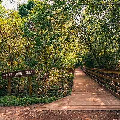
The trail is well-marked with yellow blazes; blue blazes lead to the shelter areas. Both shelter areas offer restrooms, potable water, fire rings, five shelters, and 30 tent sites. Reservations are required to camp on the LHHT. Reserve shelter or tent sites in advance here.
Getting There
Route 22 to Route 56 is the most direct and simple way to get to the northern terminus of the LHHT.
Where to Eat
For a special post-hike treat, do this: Stash some nice clothes in your car, do your best baby-wipe cleanup, and head to Ghostwriter Public House.
