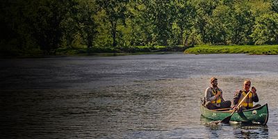
5 Top National Parks for Fishing
These five parks are best viewed from the water’s edge.
The Bureau of Land Management administers more acres of land––both above and below the surface––than any other government agency. Some 10.5% of the nation’s land is under the purview of the BLM, which includes 248 million acres of public lands and 700 million sub-surface acres (that’s one-third of the country’s mineral resources).
Not only does the BLM manage the biggest share of land, it has the broadest mission. Unlike, say, the National Park Service, which is intended to “preserve unimpaired” natural and cultural resources for the enjoyment of the people, the BLM is tasked with a multiple use mandate. This means the agency must balance renewable energy development with oil and gas extraction, and livestock grazing, timber harvesting, and mining with outdoor recreation like hunting, hiking, camping, and off-highway vehicle driving. But that doesn’t mean that every single acre of land must allow for these multiple uses. What it means is that the agency has to figure out how best to reach a balance that will meet the needs of the people for generations to come, and to “sustain the health, diversity, and productivity of public lands.”
Keep in mind that “the people”––ranchers, miners, environmentalists, outdoor enthusiasts––typically have vastly different interests and goals when it comes to land use. And the public does get a say: the BLM allows for public comment where citizens can voice their opinions in regard to rules and decision making on public land.
The result of factoring in a broad mission, public input, profit-seeking companies, and politicians? The BLM has a tricky and complicated mission to carry out.
From the shimmering Bonneville Salt Flats outside of Salt Lake City to the Class IV rapids on the Arkansas River in Colorado to the site for Burning Man in the Black Rock Desert, America’s BLM lands vary wildly.
The vast majority of BLM land is primarily concentrated across 12 western states (Alaska, Washington, Oregon, California, Idaho, Montana, Wyoming, Utah, New Mexico, Colorado, Nevada, and Arizona). Over 99% of BLM land is free to use and the rules are far fewer than in national parks. Camping, biking, hiking, hunting, pets, and off-road driving (on designated routes) are allowed in many places.
The BLM also helps manage 260 designated wilderness areas and 491 wilderness study areas; these spots have the highest level of federal protection, so development and mechanical vehicles are not allowed. In addition, the BLM manages 28 of the country’s 122 national monuments, 2,400 miles of Wild and Scenic Rivers, and some 6,000 miles of National Scenic and Historic Trails. Collectively, these areas are known as National Conservation Lands, and comprise some 33 million acres.
Considering the BLM’s status as the behemoth of federal land management, the agency has humble beginnings. The United States Forest Service was created in 1905 followed by the National Park Service in 1916, and those agencies scooped up most of the country’s scenic and resource-rich land before the BLM was established in 1946. Homesteaders migrating west passed by the swaths of land that would later come under the BLM’s management. The agency's original holdings were largely regarded as “the land nobody wanted.”
Of course, this disregards the Indigenous people who lived on these lands for millennia. As with the establishment of national parks and other public lands in the United States, Indigenous communities were often dispossessed of their native land, and this history continues to reverberate today. For example, the Hopi, Navajo, Ute Mountain Ute, Pueblo of Zuni, and Ute Indian communities created the Bears Ears Coalition (https://bearsearscoalition.org/) to bring Native perspectives and interests to protecting Bears Ears National Monument in Utah.
In 1946, Congress combined existing agencies that managed land sales, grazing, and mineral rights into the Bureau of Land Management. (Its mission was further refined with the passage of the Federal Land Policy and Management Act of 1976.)
When managing the country’s renewable and non-renewable resources the BLM must take into consideration the current needs of the people, as well as the needs of future generations in regard to: recreation, timber, minerals, energy development, grazing, watershed, fish, wildlife, and scenic, scientific, and historical values. It’s not surprising that there are often competing interests.
The BLM has a conservation mission as well, and manages swaths of land set aside specifically for conservation that aren’t open to extraction. These areas also provide some of the best recreation opportunities on BLM land.
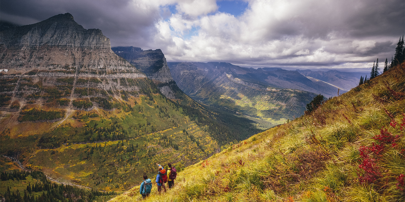
From the canyons of southern Utah to the dramatic peaks of Alaska and the lush forest of the Pacific Northwest, the BLM manages millions of acres that are open for outdoor enthusiasts to climb, camp, hike, raft, paddle, mountain bike, off-road, and even e-bike.
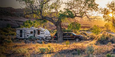
Camping is one of many things you can do on BLM land. You’ll find developed campgrounds with facilities like bathrooms and picnic tables, and where RVs are welcome. But what makes the BLM special is its liberal dispersed camping policy. As in many national forests, you can camp on the sides of roads and pullouts, near trailheads, or just about anywhere unless otherwise marked.
The freedom the BLM offers is a gift to outdoor explorers, but it requires all of us to be good stewards. Make sure you’re familiar with Leave No Trace guidelines and take care to minimize impact. When it comes to dispersed camping, that means it’s best to select previously used sites (these will usually be obvious). Camp on durable surfaces, at least 200 feet from water sources, and use existing fire rings.
Here are some of the land types that the BLM manages alone, or in conjunction with other agencies.
National Recreation Areas: This is often land located near large reservoirs that’s open to swimming, paddling, fishing, and boating. The NPS manages some of these areas, and the BLM and USFS manage many of them (example: Bighorn Canyon in Montana and Wyoming).
National Conservation Areas: Land that has significant cultural, historical, or recreational value. These are solely managed by the BLM (example: Yaquina Head Outstanding Natural Area on the Oregon coast).
National Scenic Trails: Trails or routes with outstanding beauty and recreational value (example: California's Pacific Crest National Scenic Trail).
National Monuments: Typically preserve at least one nationally significant resource. The country’s 155 national monuments can be managed by any or all of the four federal agencies (example: Canyons of the Ancients National Monument in Colorado).
Wild and Scenic Riverways: Free-flowing (no dams) streams or rivers with natural, cultural, or recreational value. Jointly managed by the BLM, NPS, USFWS and the USFS (example: the Rogue River in Oregon).
Wilderness Areas: The 1964 Wilderness Act created this system to preserve wild and pristine land at the highest level of protection offered for federally managed public lands (example: Aravaipa Canyon Wilderness in Arizona).
Find BLM Land
Find BLM land to explore at: blm.gov/programs/recreation.
All articles are for general informational purposes. Each individual’s needs, preferences, goals and abilities may vary. Be sure to obtain all appropriate training, expert supervision and/or medical advice before engaging in strenuous or potentially hazardous activity.