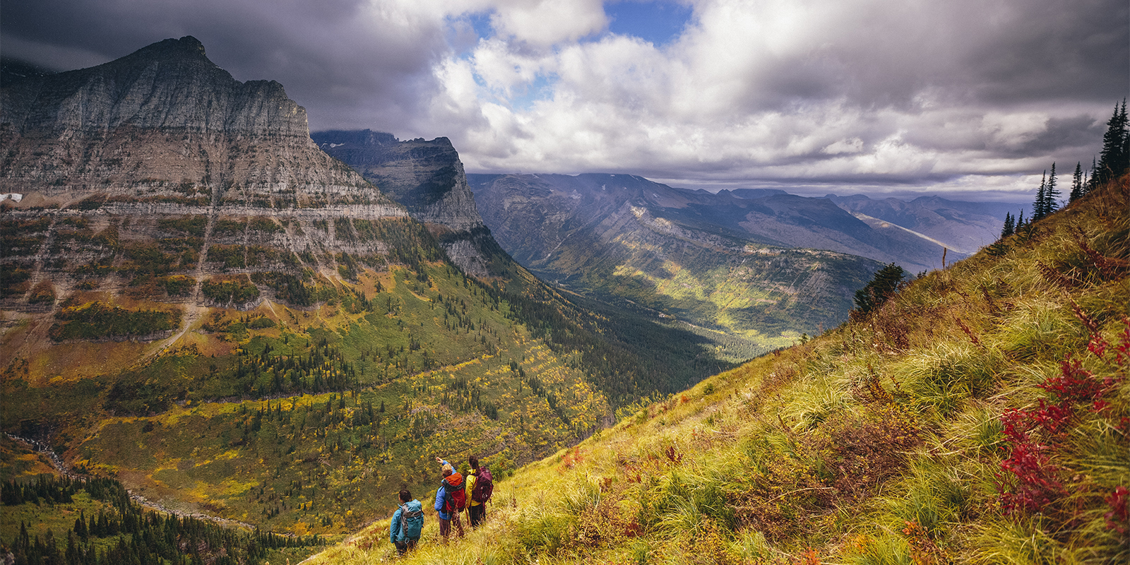
Behind every trail and patch of wilderness, there’s a story about the people who stepped up to protect it. And while it’s easy to think of national parks and big federal agencies as the masterminds behind American conservation, the truth is that a large number of the nation’s most beloved local trails owe their existence to small, hardworking nonprofits and volunteers toiling away to make our communities better.
Whether it’s championing the lands’ preservation or uplifting Indigenous voices in the region, these groups are putting their best foot forward so we can all do the same. Here are a few of our favorite success stories. Add them to your list for the hiking season ahead. Each once-threatened hike listed has a hat tipped to the inspiring work of the Public Lands conservation partners (supported through grants from the Public Lands Fund) who protected and opened the trail(s) for all.
Wingfield Pines
Upper St. Clair, PA
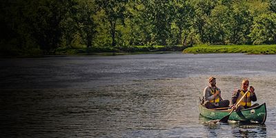
Want to hike in the Pittsburgh region? Wingfield Pines, located in Upper St. Clair and South Fayette in southwestern Allegheny County, has become the new hotspot for hikers of all walks. Several miles of trails crisscross the area, with a loop at the bottom open to those with pets. Bonus: Afterward, you can cool off in Chartiers Creek, which meanders along the region’s western edge, plus paddlers can put in at an improved launch site for short outings.
Key Partner: The Wingfield Pines area was formerly plagued by water pollution from abandoned mine drainage until the Allegheny Land Trust (ALT) stepped in. The ALT helped implement a passive treatment system to turn the water here from murky orange to clean and clear. The Wingfield Pines wetlands are now a community hub for recreation and education, offering an outdoor laboratory for students from local high schools, universities and educational programs.
Local Tip: The Great Allegheny Passage (Youghiogheny River Trail) extends along the property’s eastern border. Access it at Catfish Pond or along Calhoun Road. More Info: alleghenylandtrust.org
Cemetery Ridge
Clear Creek Metro Park, OH
Don’t let the name scare you. Cemetery Ridge—a hike in Ohio’s Clear Creek Metro Park near Lancaster—is only intermediate in difficulty, but it packs in more views than its short 2.5 miles would have you believe. The trail begins with a steep, zigzagging ascent before peaking about 700 feet higher on a ridge lined with forest and meadows. The area is home to more than 2,200 species of plants and animals, including Canadian hemlocks and ferns, as well as oak, hickory, and Ohio’s last remaining colonies of rhododendron.
Key Partner: The park’s native hemlock are being destroyed by the hemlock woolly adelgid (HWA), a pest originally native to Asia. It’s been moving steadily through the native hemlock regions of the Appalachian Mountains for about a decade now. “Teams of resource management members and volunteers are studying it this spring to figure out how to combat it,” says Homa Lily Moheimani, public engagement manager for Columbus and Franklin County Metro Parks, another Public Lands Fund grantee. Hats off to their volunteer efforts to protect the area’s hemlocks.
Local Tip: If you want more after Cemetery Ridge, tack on another classic, an aptly named Hemlock Trail. This 1.5-mile trail descends and climbs a steep ravine, twisting through shady hemlock groves, sandstone outcroppings, and ridges topped with hardwoods.
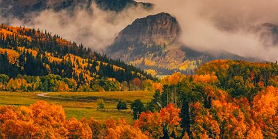
Lower Calf Creek Falls
Grand Staircase-Escalante National Monument, UT
Stroll through an oasis of green vegetation amid soaring sandstone walls on this 6-mile round-trip hike. The trail winds past ancient rock art from the Indigenous Fremont people on its way to the 126-foot Calf Creek Falls, which makes a welcome plunge on hot days. To get there, park at the trailhead off Scenic Byway 12 at the Calf Creek Campground (about 11 miles south of Boulder, and 15 miles east of Escalante).
Key Partner: Grand Staircase-Escalante’s borders have been under fire in recent years, which put a halt to critical scientific studies in the area. So, in 2021, the Conservation Lands Foundation, an early Public Lands Fund grantee , included the national monument as one of 71 recipients of its total $1,650,000 awarded in partner grants. The result: studies restored, conservation returned to the forefront of management policies, and Indigenous perspectives and knowledge elevated in land management decisions.
Local Tip: After your hike, hit the Kiva Koffeehouse in Escalante to refuel with a homemade tamale.