The Backpacker’s Guide to the Benton MacKaye Trail

Photo: James W. Thompson/Shutterstock

Everything you need to know about hiking the finest long trail in the Southeast.

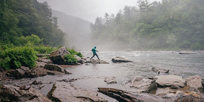
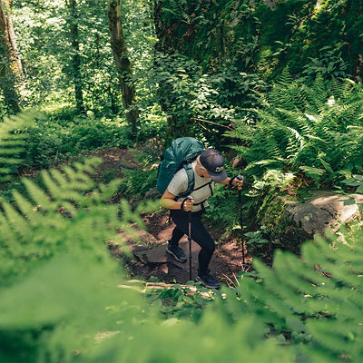
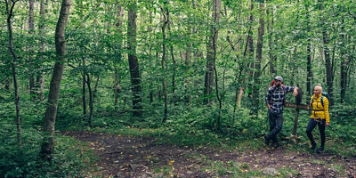
If you’re interested in hiking the Appalachian Trail (AT) but can’t get the time off work, don’t like crowds, or don’t want to hike for five months straight, consider this alternative: the Benton MacKaye Trail. It crosses the AT where both begin in north Georgia and then again where this shorter 288-mile route ends in central Virginia, but charts its own course across quiet wilderness, deep valleys, and high peaks in between. The whole thing only takes about three to four weeks to do. It also features fewer road crossings and a higher percentage of wilderness than the AT, which makes it a great option for hikers on the hunt for solitude. 

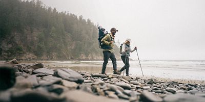
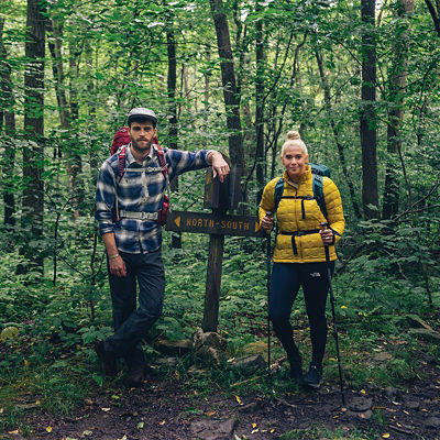
If three to four weeks of hiking still sounds like too much, have no fear: There are dozens of trailheads along the Benton MacKaye, making it perfect for thru-hikers, section-hikers, and day-hikers alike. Here’s what you need to know to start planning your trip. 

History of the Benton MacKaye Trail 

The Benton MacKaye Trail (BMT) was first conceived of by hiking enthusiast and Georgia Department of Natural Resources staffer Dave Sherman in 1975. His vision was to create an alternative to the AT and give the Southeast a long-distance trail all its own. In 1980, the final plans were approved, and an army of volunteers set to work, connecting pre-existing trails and building new ones across some of the Southeast’s most scenic landscapes. The entire route was officially completed in 2005 and named for Benton MacKaye, an early American conservationist. Today, the BMT crosses three states—Georgia, Tennessee, and North Carolina—and is popular among day-hikers and backpackers alike.

About the Route 

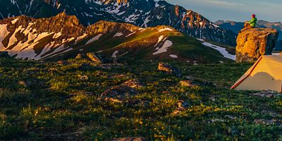
Like the Appalachian Trail, the Benton MacKaye starts atop Georgia’s Springer Mountain. From there, the BMT shares its first few miles with the AT before veering east through the Chattahoochee National Forest and crossing into Tennessee. It then zigzags north through the Cherokee National Forest, ducks into North Carolina, and traverses the entirety of Great Smoky Mountain National Park. It finishes at the park’s northernmost border. 

The entire route is located on the shared ancestral homeland of the Yuchi/Uchee (S’atsoyaha) and Cherokee (Tsalaguwetiyi) peoples. 

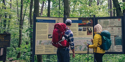
For more information about regulations and permits head to fs.usda.gov. For maps and thru-hiking information, check out the Benton MacKaye Trail Association website at bmta.org

Getting There 

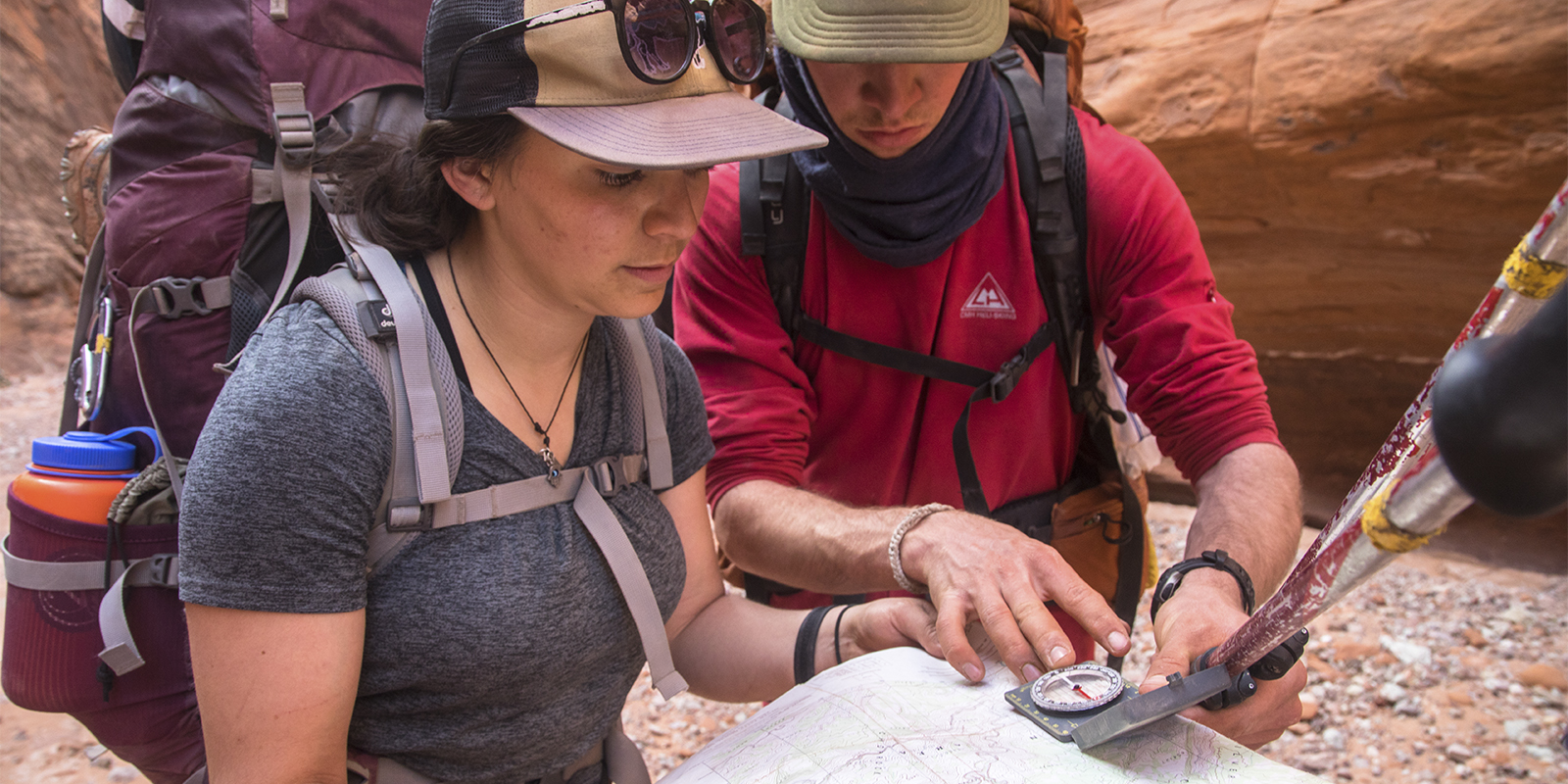
There are dozens of trailheads along the BMT that are perfect for planning a thru-hike. However, the trail’s official start is Springer Mountain. To get to this trailhead from the Kennesaw area, take on Interstate 575 going north. Exit near Tate to get on state Route 53 East. After 12 miles, veer north to gain the Steve Tate Highway toward Amicalola. Day-hikers can find parking at Amicalola Falls State Park. Backpackers should try the parking area along Forest Service Road 42 just north of the trailhead.

Recommended Section Hikes and Loops 

If you want to get a taste of the BMT without hiking the whole shebang, try one of these two- to four-day backpacking trips.

Three Forks to Skeenah Gap: This 17.8-mile point-to-point crosses airy ridgelines, deep forest, and a 260-foot-long suspension bridge. The incredible views don’t come easy, though: This hike features nearly 5,000 feet of elevation gain, making it a great two-day trip for experienced backpackers. To do it, start at Three Forks parking area and hike north along the Benton MacKaye Trail. There are a number of small dispersed campsites available along the way. (Because it’s a point-to-point hike, be sure to sort out a car shuttle ahead of time.)  

The Georgia Loop: This is a hike reserved for the bold. Patriotically dubbed “The Georgia Loop,” this 55-mile triangle connects sections of the BMT, the AT, and the Duncan Ridge Trail and covers a whopping 14,000 feet of elevation gain. For that reason, it’s best done in four to five days—or more if you’re still getting into hiking shape. Traditionally, the loop starts and ends at the Woody Gap trailhead and parking area. 

Cohutta Wilderness Loop: The largest contiguous wilderness area east of the Mississippi, the Cohutta sits in far northwest Georgia, just under the Tennessee state line. To see a big chunk of it, try this two-day, 24.5-mile loop. Park at Dally Gap, then head north to connect the Benton MacKaye, Hemp Top, Beech Bottom, and Jacks River Trails (along with a very short section of Big Frog Road). Must do: Take the spur trail to see the blue pools beneath Jacks River Falls. 

Seasons 

You can hike the Benton MacKaye Trail any time of year. Each season comes with its own distinctive charms. 

Spring: Among the more popular seasons to hike the Benton MacKaye Trail, spring temps tend to be moderate, and blooming wildflowers (starting mid-April) add to the magic.

Summer: When the lowlands heat up, the Benton MacKaye Trail’s cooler temperatures make it a high-altitude haven. Summers in the Appalachians are green and beautiful, but this season tends to be the most crowded. The other drawback: Some of the mountain springs dry up mid-summer, so be sure to bring plenty of water. 

Fall: Cooler temperatures, fiery red and bronze foliage, and a lull in the summer crowding make fall one of the best times to hike the Benton MacKaye Trail. Come in October for peak color. 

Winter: Winter is a great time to escape the crowds, and the higher-elevation peaks often get snow, leaving them robed in white. If you choose to hike in winter, just be sure to pack plenty of warm layers, and consider bringing snowshoes

All articles are for general informational purposes.  Each individual’s needs, preferences, goals and abilities may vary.  Be sure to obtain all appropriate training, expert supervision and/or medical advice before engaging in strenuous or potentially hazardous activity.

MORE STORIES