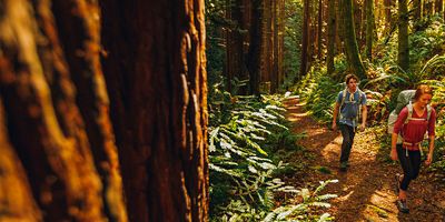
Don’t let the name get you down. There’s plenty of uplifting terrain to explore at Sunken Meadow State Park, regardless of season and whether you’re crossing over tidal creeks swaying with cordgrass, walking along beaches, or climbing up bluffs that open views out across Long Island Sound. And if you want to experience the diverse landscape that is the north shore of Long Island, a few miles of accessible coastline here put all its best features—forests, bays, sprawling beaches, glacier-carved bluffs—on full display with the 3-mile loop detailed below.
But about that other landscape feature, for which the park is named: The sunken meadow is a picturesque salt marsh that divides the 1,287-acre green space (often also referred to as Governor Alfred E. Smith State Park). As you head to the park’s eastern end, the tidal Sunken Meadow Creek cuts a small sand peninsula off the mainland. During summer, the green cordgrass and cattails of the marsh ripple in the breeze. In the winter months they glow in a golden, hibernated state. At low tide, shorelines expose mussel beds and fiddler-crab dens, while baitfish scatter from clear pools.
Across the tidal creek, the mainland of Long Island rises gradually up to the bluffs, reaching into the woodlands to form the park’s southern boundary. As a tributary, Sunken Meadow Creek is just one of the Nissequogue River’s salty marsh environs that are the ancestral homeland of the Nissaquogue people. Before their arrival, the Laurentide Ice Sheet receded over 20,000 years ago, depositing sediment on this north shore of the island, where the waters of the Long Island Sound now lap at the abrupt foot of the 70-foot bluffs that mark the northwest end of the park.
Recommended Route
Head to the southeast corner of the Field 3 lot for the trailhead adjacent to the kayak launch (just before a footpath over Sunken Meadow Creek). Note the dam built from loose rock below; it constricts the flow to create a swift, albeit minor rapid here when the tide ebbs out. Cross the bridge, make a right and head west, following the shoreline of Sunken Meadow Creek. In less than 0.5 miles, you’ll join the Long Island Greenbelt Trail (beginning at the park, it mixes singletrack, multi-use pathways and residential streets to cover 31 miles to the southern shore of Long Island at Heckscher State Park on the Great South Bay).
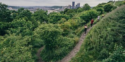
Take a left on the Greenbelt Trail and head east, climbing 100 feet up the bluffs. As the trail traverses the ridge, it opens to some of the north shore’s finest views. In a mile, you’ll reach an intersection for the parking area at Kings Park Bluff. (If you don’t want to ascend the bluffs, you can always comb the shore of Sunken Meadow Creek to ultimately reach the same point at Kings Park Bluff.)
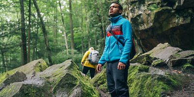
Before entering the parking area, turn south (away from the greenbelt), and take the unnamed trail. In 0.25 miles, near another connecting path to a small parking area, the trail turns west, and climbs the park’s ridge through the forest. In less than 0.5 miles you’ll pass by the eerie, seemingly forgotten, 19th-century tombstones of St. Johnland Cemetery, which also means you’re cresting the ridge around 164 feet above sea level.
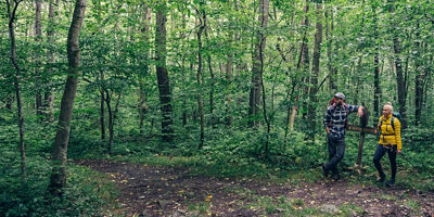
When the trail starts descending, it’s about a half-mile farther west to reach the Sunken Meadows Parking Field 4. At the northeast corner of the parking area, you’ll connect back with the Greenbelt Trail. Head east to another immediate footbridge over Sunken Meadow Creek that leads you back to Field 3. After your hike, grab a towel and head for the beach.